Hampton
Build a Hampton day around a confirmed marina, then leave time for the Peninsula waterfront. Salt Ponds and historic Fort Monroe are distinct planning areas.
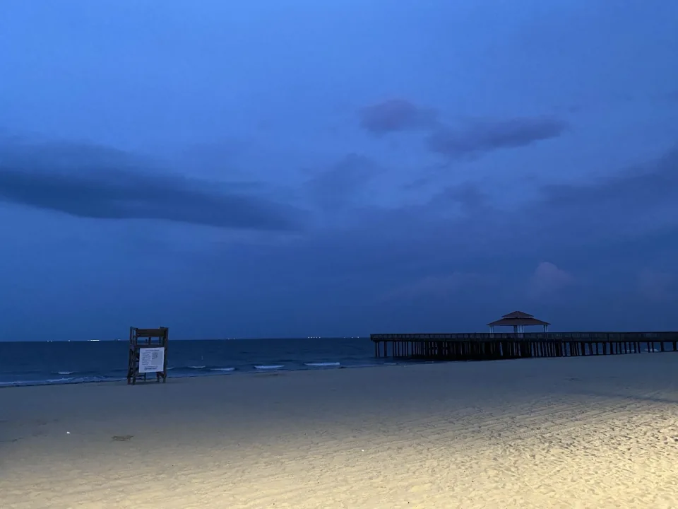
Regional photograph · Photo credits
Get the marina name right
Salt Ponds Marina Resort describes its Hampton location just off Chesapeake Bay and lists third-party charter boats. Fort Monroe's separate Marina at 37 North was formerly Old Point Comfort Marina. Neither fact assigns a particular captain to those docks. Ask your operator for the current marina, address, and boarding instructions.
Place and planning sources: Salt Ponds Marina Resort, Marina
Plan the Peninsula arrival
Fort Monroe's official directions from Norfolk and Virginia Beach use the Hampton Roads Bridge-Tunnel on I-64. If your confirmed departure requires that crossing, build the journey around check-in rather than sailing time. Consult VDOT's linked 511 traffic information before leaving, and ask how to reach the operator if delayed. Save the marina address separately from a museum or visitor-center address.
Place and planning sources: Accessibility and Directions, Hampton Roads Bridges and Tunnels, Travel and Traffic
Ask about the boarding experience
Tell the captain about mobility needs, children, or first-time anglers before reserving. Ask for the actual dock-to-boat steps, available assistance, seating, and onboard facilities. Accessible facilities at a visitor attraction do not establish accessible charter boarding. Confirm the proposed fishing water and the weather-change policy for the trip you choose.
Place and planning sources: Accessibility and Directions
Make room for Fort Monroe
Fort Monroe offers a seawall trail, beaches, a fishing pier, and historic interpretation for time ashore. Check current visitor and museum hours when building a return-day plan. The pier is its own shore-fishing option; do not treat an attraction listing or marina visit as a fishing charter reservation.
Place and planning sources: Fort Monroe
Follow the route's weather and tide resources
For a proposed lower-Bay outing, NWS offers a New Point Comfort to Little Creek forecast. The captain can confirm whether that zone, the Bay-mouth zone, or a river forecast matches the day. NOAA's station search supplies tide predictions if you want to understand the water-level plan. Reconfirm boarding arrangements with the operator; a forecast or tide table does not establish a boat's accessibility.
Place and planning sources: Marine Forecast — New Point Comfort to Little Creek, Marine Forecast Information — NWS Wakefield, NOAA Tide Predictions — Virginia
Charter departures and next steps
These departures are supported by current official operator sources.
- Four Winds Chartering — Dandy Haven Marina
Departure source - Ocean Eagle · Hampton Roads Charter — Old Point Comfort Marina · Fort Monroe
Departure source - Captain Hogg’s Charter Service — Downtown Hampton dock
Departure source - Chasin’ Wake Charters — Dandy Point guest meeting
Departure source
Guide sources
- Marine Forecast Information — NWS Wakefield
Accessed 2026-10-13 - Salt Ponds Marina Resort
Accessed 2026-10-13 - Marina
Accessed 2026-10-13 - Fort Monroe
Accessed 2026-10-13 - Accessibility and Directions
Accessed 2026-10-13 - Travel and Traffic
Accessed 2026-10-13 - Hampton Roads Bridges and Tunnels
Accessed 2026-10-13 - NOAA Tide Predictions — Virginia
Accessed 2026-10-13 - Marine Forecast — New Point Comfort to Little Creek
Accessed 2026-10-13