Know the source.
Public operator facts and real regional photographs, with provenance you can follow.
Operator information
Source check dates are shown for each observation on the charter pages. Each charter page contains field-level provenance and official source links. Conflicting rates are omitted or explained. A public description does not establish availability, safety certification or ownership verification.
- E-Fishinsea Sport Fishing Charters — 5 distinct public source URLs · 5 dated observations
- AfishinadoVB Fishing Charters — 3 distinct public source URLs · 3 dated observations
- Havoc Charters — 6 distinct public source URLs · 6 dated observations
- Four Reel Sportfishing — 3 distinct public source URLs · 5 dated observations
- Marcia B Sportfishing — 3 distinct public source URLs · 3 dated observations
- Rudee Tours — 7 distinct public source URLs · 9 dated observations
- Four Winds Chartering — 2 distinct public source URLs · 2 dated observations
- Ocean Eagle · Hampton Roads Charter — 4 distinct public source URLs · 4 dated observations
- Goin’ Anyways SportFishing — 6 distinct public source URLs · 7 dated observations
- Hookz Sportfishing — 4 distinct public source URLs · 4 dated observations
- High Hopes Sportfishing — 3 distinct public source URLs · 3 dated observations
- AquaMan Sportfishing — 4 distinct public source URLs · 4 dated observations
- Knot Tell’n Charters — 3 distinct public source URLs · 3 dated observations
- Betty Lou Fish Co. — 3 distinct public source URLs · 3 dated observations
- Kraken Charters — 6 distinct public source URLs · 6 dated observations
- Salty Girl Charters — 4 distinct public source URLs · 4 dated observations
- Prowler Fishing Charter — 4 distinct public source URLs · 4 dated observations
- Captain Hogg’s Charter Service — 4 distinct public source URLs · 4 dated observations
- Chasin’ Wake Charters — 3 distinct public source URLs · 3 dated observations
- Dockside Seafood & Fishing Center — 2 distinct public source URLs · 2 dated observations
- Is That Right Sport Fishing — 2 distinct public source URLs · 2 dated observations
- Tidewater Charters — 2 distinct public source URLs · 2 dated observations
- Top Dog Charters — 1 distinct public source URLs · 1 dated observations
- Fin-Atic Sportfishing — 2 distinct public source URLs · 2 dated observations
- Reel Tails Sportfishing — 4 distinct public source URLs · 4 dated observations
- Sea Hooker Charters — 3 distinct public source URLs · 3 dated observations
Regional photography
Photography is geographic context, never a claimed portrait of a listed boat or captain. Resized WebP versions retain the original applicable license. No scene content was changed. These photographs may be older than the current listing research.
Rudee Inlet, Virginia Beach, Virginia
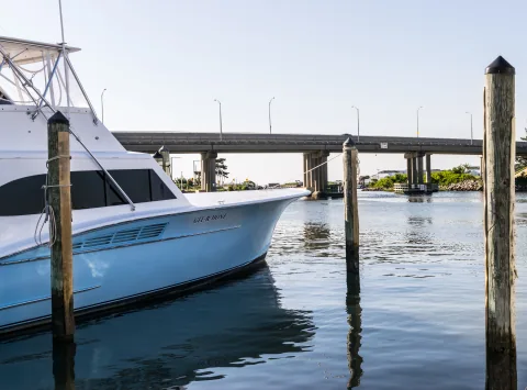
Photo: PumpkinSky / Wikimedia Commons / CC BY-SA 4.0
Original source · CC BY-SA 4.0
Resized to 1920, 960, and 480 pixels wide and encoded as WebP. Embedded metadata removed. No scene content changed.
Source/license checked 2026-10-13. No vessel in this regional image is identified as belonging to a listed operator. The photograph dates to 2017; it is not evidence of current vessel availability.
Sandbridge Beach, Virginia Beach, Virginia
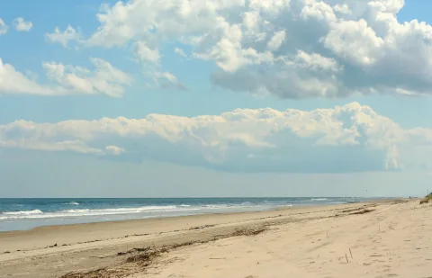
Photo: Brent Hoard / Wikimedia Commons / CC BY 2.0
Original source · CC BY 2.0
Resized to 1920, 960, and 480 pixels wide and encoded as WebP. Embedded metadata removed. No scene content changed.
Source/license checked 2026-10-13. This depicts Sandbridge, not Rudee Inlet or a charter departure dock.
Buckroe Beach, Hampton, Virginia
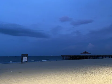
Photo: Fuzheado / Wikimedia Commons / CC BY-SA 3.0
Original source · CC BY-SA 3.0
Resized to 1920, 960, and 480 pixels wide and encoded as WebP. Embedded metadata removed. No scene content changed.
Source/license checked 2026-10-13. This is regional Hampton photography, not a listed charter departure dock.
Fort Monroe at Old Point Comfort, Hampton, Virginia
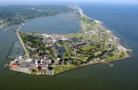
Photo: U.S. Army / Wikimedia Commons / Public domain
Original source · Public domain
Resized to 1920, 960, and 480 pixels wide and encoded as WebP. Embedded metadata removed. No scene content changed.
Source/license checked 2026-10-13. This depicts Fort Monroe and adjacent Bay shoreline, not Rudee Inlet or a verified operator berth.
Typography
Newsreader and Manrope are self-hosted under the SIL Open Font License 1.1. Newsreader license · Manrope license.
Maps
The first-party overview is a schematic. It is not a navigation chart and its markers do not identify exact docks. The optional detailed map is provided by OpenStreetMap contributors under ODbL, with a separate opt-in before any map-provider request.