Rudee Inlet
At the southern end of Virginia Beach's Oceanfront, Rudee Inlet brings marina life, fishing departures, and waterside dining together in one coastal district.
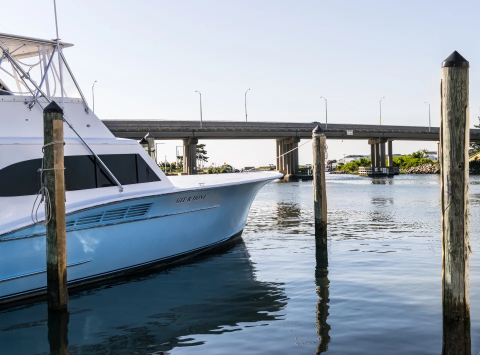
Regional photograph · Photo credits
One inlet, several marinas
The inlet is the neighborhood, not a single boarding gate. Official tourism guidance names Virginia Beach Fishing Center, Inlet Station Marina, and Fisherman's Wharf Marina as separate places. Ask your operator for the marina name, vessel name, exact dock, and arrival time; save those details before leaving your accommodation.
Place and planning sources: A Locals Guide to Rudee Inlet
Plan parking before check-in
For Rudee Tours' published full-day fishing trip, parking is paid and not guaranteed; the trip departs from Virginia Beach Fishing Center. Those terms should not be copied to every inlet operator. Confirm your own parking arrangements, how far the dock is from the car, and whether a cooler can come aboard.
Place and planning sources: Full-Day Fishing Trip
Understand what leaves the inlet
A departure through Rudee Inlet does not determine how far your trip goes. Ask the captain to describe the planned fishing area, the expected travel portion, and an alternative if marine conditions change. New anglers can explain their experience level and request a trip with instruction that fits their group.
Place and planning sources: A Locals Guide to Rudee Inlet, Marine Forecast Information — NWS Wakefield
Leave room for the waterfront
Rudee's and Big Sam's overlook the inlet, giving the day a natural waterfront finish. Keep meal plans flexible until the operator confirms your return time. If part of the group stays ashore, the marina district offers a place to watch boats and explore dining without treating it as a charter booking.
Place and planning sources: Rudee Inlet Marina District, A Locals Guide to Rudee Inlet
Read beyond the inlet view
For a coastal route, the NWS zone from Cape Charles Light to the Virginia–North Carolina border covers waters out to 20 nautical miles; longer routes may need other forecasts. Ask the captain which zones matter for your trip. NOAA also lets you look up tide predictions by station, but leave departure timing and the fishing plan with the operator.
Place and planning sources: Marine Forecast — Cape Charles Light to the Virginia–North Carolina Border, Out 20 Nautical Miles, Marine Forecast Information — NWS Wakefield, NOAA Tide Predictions — Virginia
Charter departures and next steps
These departures are supported by current official operator sources.
- E-Fishinsea Sport Fishing Charters — Rudee Inlet · Inlet Station Marina
Departure source - AfishinadoVB Fishing Charters — Rudee Inlet · Inlet Station Marina
Departure source - Havoc Charters — Rudee Inlet · Fisherman’s Wharf Marina
Departure source - Four Reel Sportfishing — Rudee Inlet · Virginia Beach Fishing Center
Departure source - Marcia B Sportfishing — Rudee Inlet · Virginia Beach Fishing Center
Departure source - Rudee Tours — Rudee Inlet
Departure source - High Hopes Sportfishing — Rudee Inlet
Departure source - AquaMan Sportfishing — Rudee Inlet
Departure source - Knot Tell’n Charters — Rudee Inlet · Fisherman’s Wharf Marina
Departure source
Guide sources
- Rudee Inlet Marina District
Accessed 2026-10-13 - A Locals Guide to Rudee Inlet
Accessed 2026-10-13 - Full-Day Fishing Trip
Accessed 2026-10-13 - Marine Forecast Information — NWS Wakefield
Accessed 2026-10-13 - NOAA Tide Predictions — Virginia
Accessed 2026-10-13 - Marine Forecast — Cape Charles Light to the Virginia–North Carolina Border, Out 20 Nautical Miles
Accessed 2026-10-13