Virginia Beach
Choose your water first. Virginia Beach spans Atlantic beaches, Rudee Inlet, and the Lynnhaven and Chesapeake Bay side, with very different fishing-day possibilities.
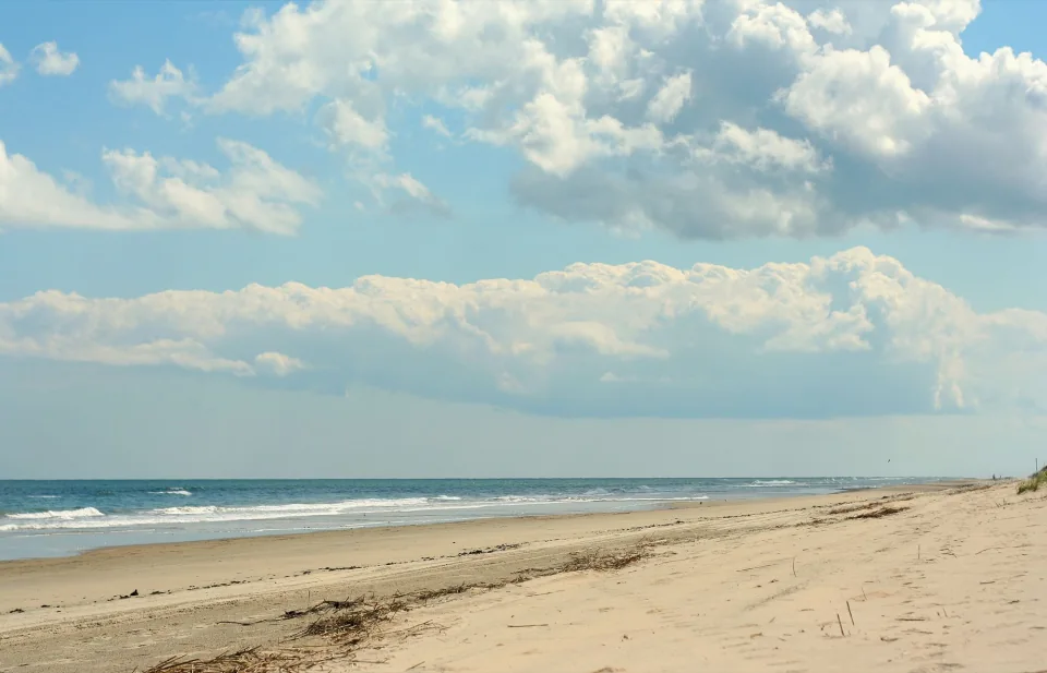
Regional photograph · Photo credits
Start with the water
A Virginia Beach address does not tell you the whole trip. The city reaches from Chesapeake Bay and Lynnhaven Bay to the Atlantic Oceanfront. Ask whether the proposed day stays inshore, follows the coast, or runs offshore; choose around your group's interests and comfort with time at sea.
Place and planning sources: Best Ways to Fish in Virginia Beach
Choose the trip format
A private charter and a headboat outing offer different experiences. Before comparing a half day with a full day, ask how much of the schedule is spent traveling and whether the booking is for your whole group or individual seats. Confirm gear, food, restrooms, shade, and fish-cleaning arrangements directly.
Place and planning sources: Best Ways to Fish in Virginia Beach
Pin the actual meeting point
Rudee Inlet sits at the south end of the Oceanfront, but a city-wide search should not send everyone to the same dock. Use the operator's confirmed marina and check-in instructions. For Rudee Tours' published full-day fishing trip, the official departure is Virginia Beach Fishing Center at Rudee Inlet.
Place and planning sources: Rudee Inlet Marina District, Full-Day Fishing Trip
Make the forecast part of the plan
Check the marine forecast for the proposed water, then ask the captain how conditions affect the route and cancellation policy. NWS publishes separate Bay-mouth and Atlantic coastal zones; the right choice follows the route rather than your hotel. Confirm the intended species for your date and ask what happens if the planned trip changes.
Place and planning sources: Marine Forecast Information — NWS Wakefield, Marine Forecast — Little Creek to Cape Henry, Including the Chesapeake Bay Bridge-Tunnel, Marine Forecast — Cape Charles Light to the Virginia–North Carolina Border, Out 20 Nautical Miles
Plan the drive to your side of the city
Save the operator's dock address before checking traffic. If arriving from the Peninsula or Eastern Shore, the Hampton Roads Bridge-Tunnel on I-64 and the Chesapeake Bay Bridge-Tunnel on Route 13 are different crossings. Use VDOT's linked 511 service for the journey you actually need, and allow time for parking and check-in after the road trip ends.
Place and planning sources: Hampton Roads Bridges and Tunnels, Travel and Traffic
Charter departures and next steps
These departures are supported by current official operator sources.
- E-Fishinsea Sport Fishing Charters — Rudee Inlet · Inlet Station Marina
Departure source - AfishinadoVB Fishing Charters — Rudee Inlet · Inlet Station Marina
Departure source - Havoc Charters — Rudee Inlet · Fisherman’s Wharf Marina
Departure source - Four Reel Sportfishing — Rudee Inlet · Virginia Beach Fishing Center
Departure source - Marcia B Sportfishing — Rudee Inlet · Virginia Beach Fishing Center
Departure source - Rudee Tours — Rudee Inlet
Departure source - Hookz Sportfishing — Private Lynnhaven River dock
Departure source - High Hopes Sportfishing — Rudee Inlet
Departure source - AquaMan Sportfishing — Rudee Inlet
Departure source - Knot Tell’n Charters — Rudee Inlet · Fisherman’s Wharf Marina
Departure source - Dockside Seafood & Fishing Center — Lynnhaven area · Dockside
Departure source - Is That Right Sport Fishing — Lynnhaven · Long Bay Pointe Marina
Departure source
Guide sources
- Best Ways to Fish in Virginia Beach
Accessed 2026-10-13 - Rudee Inlet Marina District
Accessed 2026-10-13 - Full-Day Fishing Trip
Accessed 2026-10-13 - Marine Forecast Information — NWS Wakefield
Accessed 2026-10-13 - Travel and Traffic
Accessed 2026-10-13 - Hampton Roads Bridges and Tunnels
Accessed 2026-10-13 - Marine Forecast — Little Creek to Cape Henry, Including the Chesapeake Bay Bridge-Tunnel
Accessed 2026-10-13 - Marine Forecast — Cape Charles Light to the Virginia–North Carolina Border, Out 20 Nautical Miles
Accessed 2026-10-13